International Futures Help System
Map Use
This general topic will go over the possibilities available to users when they access a map. There are two main places where users can access maps while using IFs:
You can find this by selecting Display from IFs Main Menu. Maps located here will display forecasted variables.
The other way that users can access maps when using IFs is through the Data Analysis option on the Main Menu of IFs. These maps will display historic, empirical data.
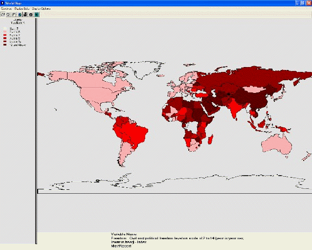
The format for maps used in IFs is displayed below:

 International Futures at the Pardee Center